Log in
All resources
Create a design
485 Free Artworks of Charts And Maps
bibliothèque nationale de france
topographisch, oeconomisch und militaerische charte von mecklenburg, schwerin und ratzeburg
topographisch, oeconomisch und militaerische charte des herzogthums mecklenburg schwerin and des fürstenthums ratzeburg - schmettau
koninklijke bibliotheek
lawrence h. slaughter collection of english maps, charts, globes, books and atlases
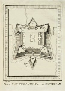
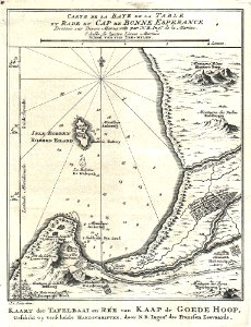
nationaal archief
engraving on paper
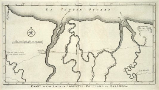
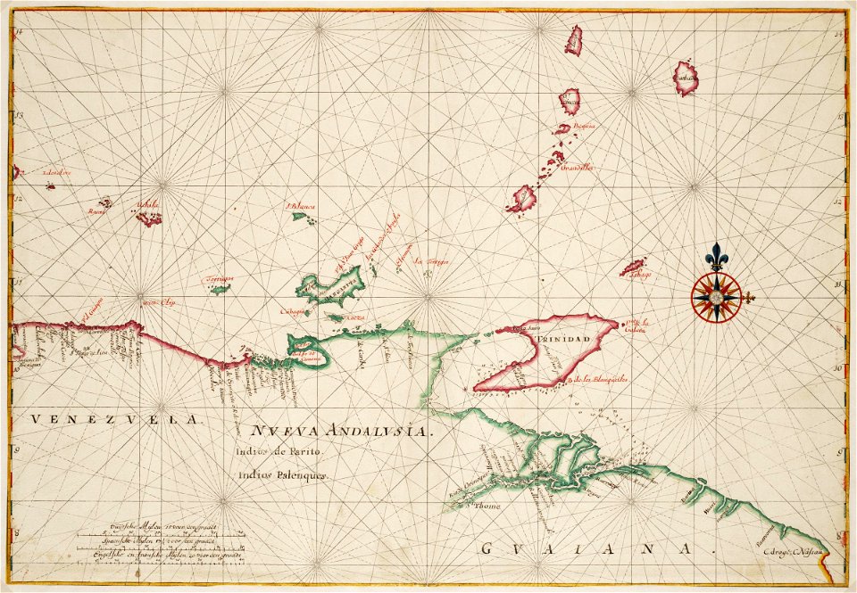
maps of the west-indische compagnie
portolan charts by willem and johannes blaeu
maps by jakob van der schley
topographic map of france, 1864
lemercier & cie.
topographic map of france, 1864
lemercier & cie.
media from atlas of mutual heritage on dutch east india company
portolan charts by willem and johannes blaeu
maps in the topographia austriacarum (merian)
baroque
maps by pieter mortier
le neptune francois
lawrence h. slaughter collection of english maps, charts, globes, books and atlases
de nieuwe en onbekende weereld
maps of the west-indische compagnie
1770 maps
1782 maps of the caribbean
maps by juan lopez
media from the national library of finland
classicism
maps in the topographia austriacarum (merian)
baroque
portolan charts by willem and johannes blaeu
dutch east india company
maps of the dutch east india company - indonesia
18th-century maps of new guinea
maps of the west-indische compagnie
1665
lawrence h. slaughter collection of english maps, charts, globes, books and atlases
1700 maps of the atlantic ocean
lawrence h. slaughter collection of english maps, charts, globes, books and atlases
1700 maps of the atlantic ocean
portolan charts by willem and johannes blaeu
old maps of holland
mountain height comparison diagrams
andriveau-goujon
maps of the west-indische compagnie
1665
de wikisource book leaflet
de nordseeküste (karten)
drawings by johan frederik clemens in the statens museum for kunst
gray wash
maps in the topographia austriacarum (merian)
baroque
maps in the topographia austriacarum (merian)
baroque
lawrence h. slaughter collection of english maps, charts, globes, books and atlases
maps by claude joseph sauthier
1830s maps of the world
maps by daniel lizars
eran laor cartographic collection
willem albert bachiene
jacques-nicolas bellin
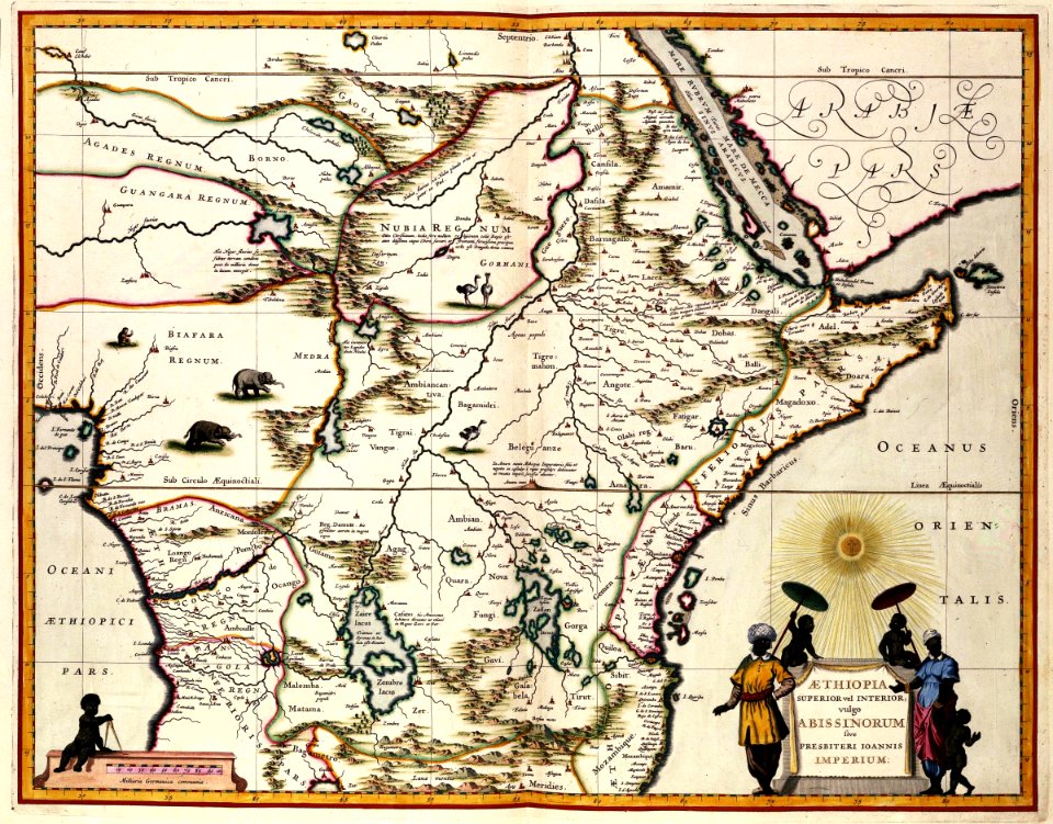
1773 maps of africa
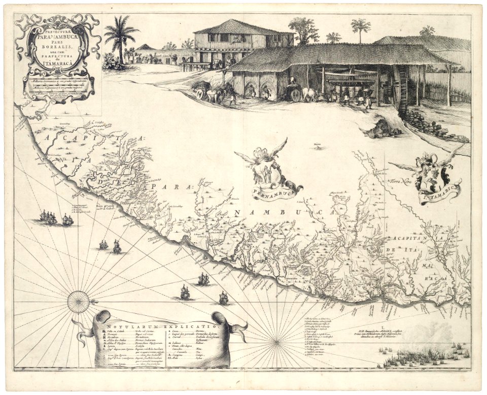
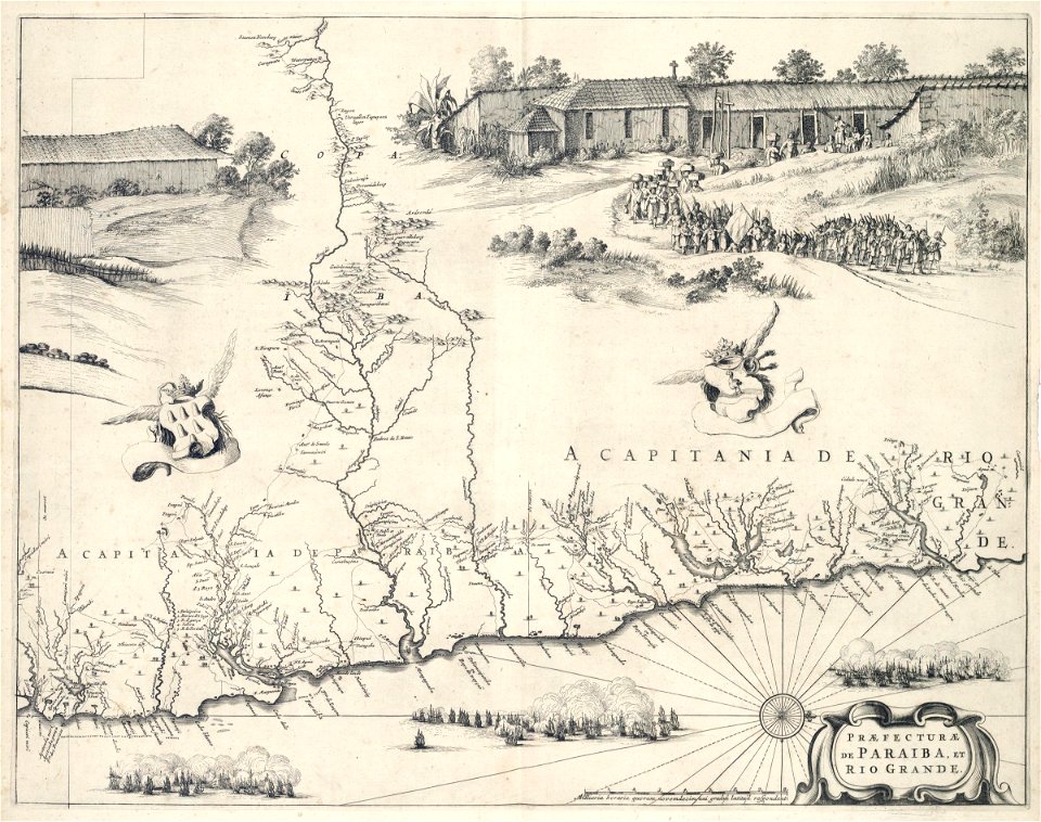
praefectura paranambucae pars borealis, una cum praefectura de itâmaracâ
1647 maps of brazil
maps from the earth and its inhabitants, vol. vi
maps of samarkand
old maps of the canadian arctic region
victory expedition
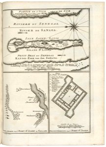
maps of the senegal river
1750 maps
prints, drawings and watercolours of the royal museums greenwich
1896 in art
maps of the west-indische compagnie
1665
a plan of the operations of the king's army under the command of general sr. william howe, k.b. in new york and east new jersey, against the american forces commanded by general washington, from the 12th. of october, to the 28th. of november 1776
iona island (new york)
lawrence h. slaughter collection of english maps, charts, globes, books and atlases
nypl lionel pincus and princess firyal map division
maps of the dutch east india company - indonesia
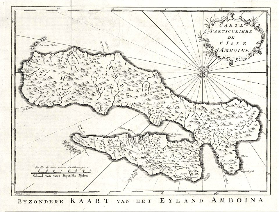
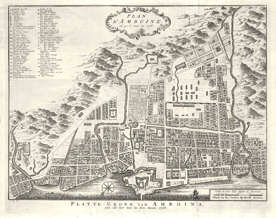
old maps of ambon
14th-century illuminated manuscripts from spain
jong (ship)
1884 pacific typhoon season track maps
1884 in taiwan
eran laor cartographic collection
willem albert bachiene
portolan charts by willem and johannes blaeu
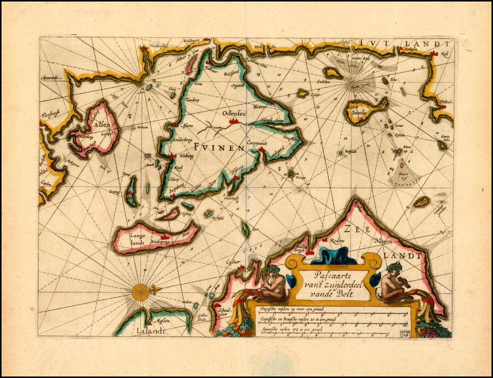
17th-century maps of scandinavia
bibliothèque nationale de france
maps by thomas kitchin
eran laor cartographic collection
willem albert bachiene
maps by john cary
1801 maps
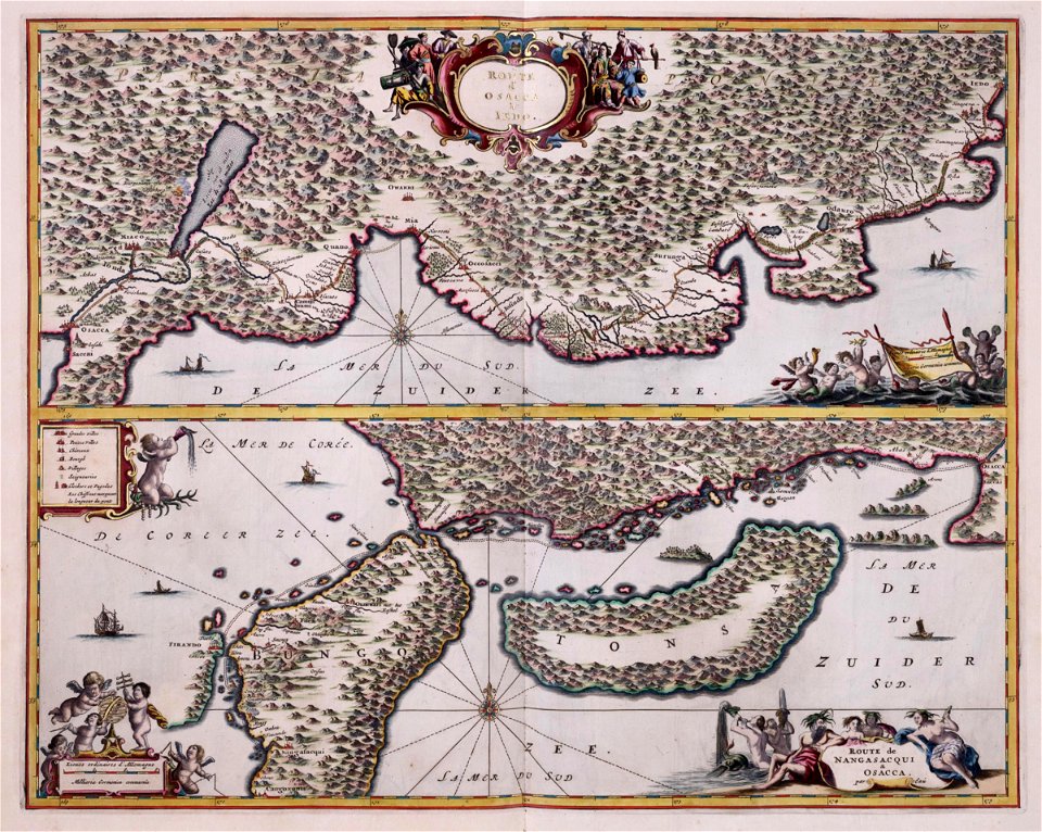
maps of the dutch east india company - japan
1669 maps
cartouches by willem and johannes blaeu
maps of the dutch east india company - indonesia
maps by jakob van der schley
maps of ciudad colonial
1665
1710s maps of moldova
daniel de la feuille
lucas janszoon waghenaer
1610s maps of norway
cartouches by willem and johannes blaeu
pieter goos
maps in the library of congress
1780s maps of the caribbean
maps of the mexican-american war
maps by joseph warren revere
lawrence h. slaughter collection of english maps, charts, globes, books and atlases
covens en mortier
maps of the dutch east india company - indonesia
17th-century maps of bavaria
portolan charts by willem and johannes blaeu
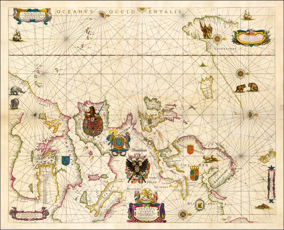
17th-century maps of europe
parts of old maps of hamburg
maps of hamburg-sternschanze
portolan charts by willem and johannes blaeu
copper engravings
maps of the dutch east india company - sri lanka
1787 maps
atlas vingboons
1665
19th-century maps of the isle of wight
william price
maps in the library of congress
1747 maps of new jersey
charts and maps of the royal museums greenwich
1584 maps
charts and maps of the royal museums greenwich
1584 maps
maps of the dutch east india company - indonesia
1750s maps of indonesia
lawrence h. slaughter collection of english maps, charts, globes, books and atlases
nypl lionel pincus and princess firyal map division
1710s maps of the netherlands
18th-century maps of belgium
maps of the west-indische compagnie
old maps of dutch brazil
maps of the west-indische compagnie
1705
lawrence h. slaughter collection of english maps, charts, globes, books and atlases
nypl lionel pincus and princess firyal map division
old maps of the principality of minden
1840s maps of north rhine-westphalia
old maps of the dutch east india company
1705
daniel de la feuille
1710 maps of africa
lawrence h. slaughter collection of english maps, charts, globes, books and atlases
nypl lionel pincus and princess firyal map division
old maps of the russian empire
1790s maps of alaska
maps of ven (oresund)
old maps of skåne
maps by pieter mortier
le neptune francois
old maps of southeast asia
maps by gerard valck
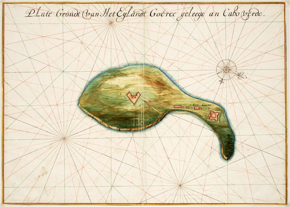
old maps of the dutch east india company - africa
1665
old maps of the dutch east india company - africa
1635 maps of africa
1740s maps of the caribbean
daniel de la feuille
maps of the dutch east india company - indonesia
maps by jakob van der schley
topographisch, oeconomisch und militaerische charte des herzogthums mecklenburg schwerin and des fürstenthums ratzeburg - schmettau
topographisch, oeconomisch und militaerische charte von mecklenburg, schwerin und ratzeburg
topographisch, oeconomisch und militaerische charte des herzogthums mecklenburg schwerin and des fürstenthums ratzeburg - schmettau
topographisch, oeconomisch und militaerische charte von mecklenburg, schwerin und ratzeburg
topographisch, oeconomisch und militaerische charte des herzogthums mecklenburg schwerin and des fürstenthums ratzeburg - schmettau
topographisch, oeconomisch und militaerische charte von mecklenburg, schwerin und ratzeburg
topographisch, oeconomisch und militaerische charte des herzogthums mecklenburg schwerin and des fürstenthums ratzeburg - schmettau
topographisch, oeconomisch und militaerische charte von mecklenburg, schwerin und ratzeburg
topographisch, oeconomisch und militaerische charte des herzogthums mecklenburg schwerin and des fürstenthums ratzeburg - schmettau
topographisch, oeconomisch und militaerische charte von mecklenburg, schwerin und ratzeburg
topographisch, oeconomisch und militaerische charte des herzogthums mecklenburg schwerin and des fürstenthums ratzeburg - schmettau
topographisch, oeconomisch und militaerische charte von mecklenburg, schwerin und ratzeburg
topographisch, oeconomisch und militaerische charte des herzogthums mecklenburg schwerin and des fürstenthums ratzeburg - schmettau
topographisch, oeconomisch und militaerische charte von mecklenburg, schwerin und ratzeburg
topographisch, oeconomisch und militaerische charte des herzogthums mecklenburg schwerin and des fürstenthums ratzeburg - schmettau
topographisch, oeconomisch und militaerische charte von mecklenburg, schwerin und ratzeburg
topographisch, oeconomisch und militaerische charte des herzogthums mecklenburg schwerin and des fürstenthums ratzeburg - schmettau
topographisch, oeconomisch und militaerische charte von mecklenburg, schwerin und ratzeburg
topographisch, oeconomisch und militaerische charte des herzogthums mecklenburg schwerin and des fürstenthums ratzeburg - schmettau
topographisch, oeconomisch und militaerische charte von mecklenburg, schwerin und ratzeburg
topographisch, oeconomisch und militaerische charte des herzogthums mecklenburg schwerin and des fürstenthums ratzeburg - schmettau
topographisch, oeconomisch und militaerische charte von mecklenburg, schwerin und ratzeburg
topographisch, oeconomisch und militaerische charte des herzogthums mecklenburg schwerin and des fürstenthums ratzeburg - schmettau
topographisch, oeconomisch und militaerische charte von mecklenburg, schwerin und ratzeburg
topographisch, oeconomisch und militaerische charte des herzogthums mecklenburg schwerin and des fürstenthums ratzeburg - schmettau
topographisch, oeconomisch und militaerische charte von mecklenburg, schwerin und ratzeburg
topographisch, oeconomisch und militaerische charte des herzogthums mecklenburg schwerin and des fürstenthums ratzeburg - schmettau
topographisch, oeconomisch und militaerische charte von mecklenburg, schwerin und ratzeburg
topographisch, oeconomisch und militaerische charte des herzogthums mecklenburg schwerin and des fürstenthums ratzeburg - schmettau
topographisch, oeconomisch und militaerische charte von mecklenburg, schwerin und ratzeburg
topographisch, oeconomisch und militaerische charte des herzogthums mecklenburg schwerin and des fürstenthums ratzeburg - schmettau
topographisch, oeconomisch und militaerische charte von mecklenburg, schwerin und ratzeburg
catalan atlas, 1959 reproduction
catalan charts
catalan atlas, 1959 reproduction
catalan charts
maps of the west-indische compagnie
1647
lawrence h. slaughter collection of english maps, charts, globes, books and atlases
nypl lionel pincus and princess firyal map division
201 - 300 of 485
Next page
/ 5